
In French-speaking geomorphology, the distinction between a waterfall and a cascade is based on the geometry of the flow, not on tourist vocabulary. Confusing the two terms is akin to ignoring what the terrain reveals about the rock, the slope, and the history of the watercourse. Understanding the difference between a waterfall and a cascade allows for a precise reading of a landscape, whether one is traversing the Jura, the Doubs, or the Alps.
Slope Break and Rock Profile: What Geology Imposes on Water
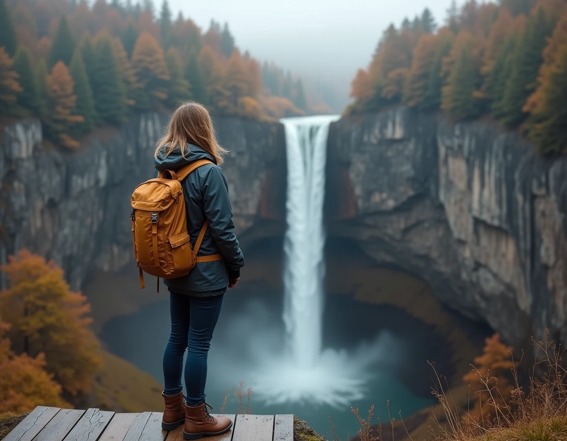
A waterfall forms on a sharp slope break. The watercourse leaves a plateau or a resistant geological layer, then falls almost vertically onto a single wall. The underlying rock, which is softer, erodes from below, gradually carving out a basin at the foot of the drop.
See also : How to Choose the Right Beauty Products for Your Skin
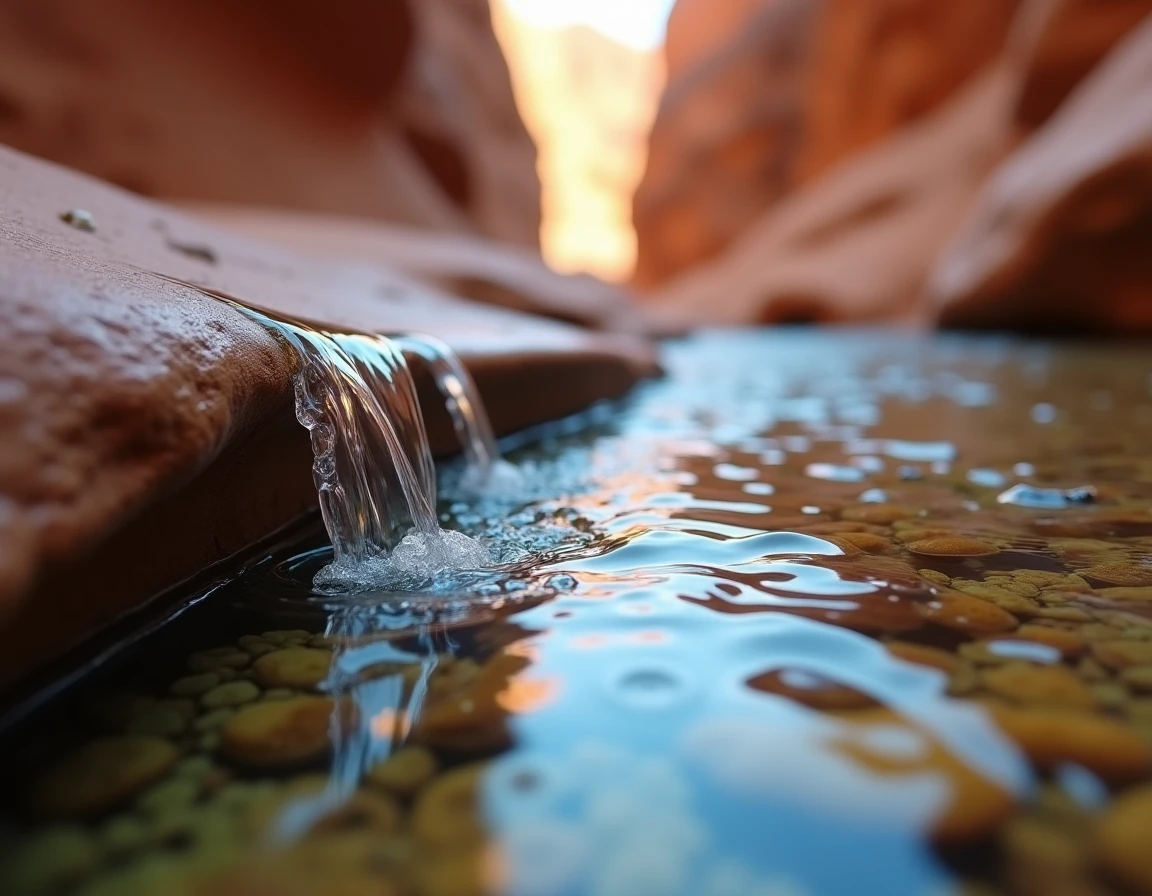
The cascade, on the other hand, originates from a series of stepped ledges over a short distance. Several successive levels fragment the descent. Each ledge corresponds to a rock layer that is slightly harder than the next, creating an alternation of small drops and flat areas where the water slows down before plunging again.
While hiking, we often observe intermediate formations. A single site may feature a main drop followed by ledges downstream. The classification then depends on the dominant segment. If the vertical drop concentrates the majority of the elevation change, it is referred to as a waterfall. If the descent is spread over several comparable levels, it is called a cascade. To delve deeper into the difference between a waterfall and a cascade, one must examine the local geological structure rather than relying solely on visual impression.
Related reading : How to Choose Your Exercise Bike in 2019?
Visual Criteria for Distinguishing Between a Cascade and a Waterfall in the Field
The hiker does not need a geological map to decide. Three physical criteria are sufficient, observable to the naked eye from a trail.
- Verticality of the wall: the closer the slope is to 90 degrees, the more the formation is classified as a waterfall. A stream of water falling into the void from a cliff is a waterfall, even if modest. As soon as the water touches the rock multiple times during its descent, we shift to a cascade.
- Number of visible ledges: a cascade features at least two distinct ledges, often more. The Creissels cascades, for example, are described as a succession of waterfalls, with each ledge forming a small pool before the next drop.
- Shape of the receiving basin: a single waterfall generally carves out a deep and concentrated basin at the foot of the wall. A cascade distributes energy over several levels, producing shallower but more numerous basins.
The Druise waterfall exemplifies the first case: a spectacular isolated drop on an almost vertical wall. In contrast, the Hérisson cascades in the Jura offer a stepped path where the hiker follows several successive ledges along the trail.
Seasonal Flow and Common Confusion While Hiking
The flow radically alters the appearance of a site. In spring, during the snowmelt, a cascade with multiple steps may resemble a single waterfall: the volume of water drowns the intermediate ledges and creates a continuous curtain. A hiker discovering the site at this time sees a vertical mass of water where, in summer, they would clearly distinguish the levels.
The flow masks the geological structure without altering it. If you are unsure during high water periods, look at the lateral edges of the flow. The rock layers and flat areas remain visible on the sides, even when the center of the flow appears uniform.
In summer low water, the opposite phenomenon occurs. A low-flow waterfall may fragment into several streams that glide over the wall, giving a false impression of a cascade. We then recommend observing the geometry of the wall rather than the behavior of the water: a smooth and vertical wall indicates a waterfall, even if the water meanders over it.
Field Vocabulary: Why Hiking Signs Foster Confusion
In everyday French, “cascade” and “waterfall” function as synonyms. The tourist offices in the Doubs, Jura, or Alps almost systematically use the word “cascade” on their signs, regardless of the type of formation. The term sounds better, evokes movement, and fits more easily into a place name.
The Saut du Doubs is a good example of this ambiguity. The word “saut” clearly denotes a single drop, a vertical leap of water. The formation corresponds well to a waterfall in the geomorphological sense. However, the signs along the hiking route alternate between “cascade” and “saut” without technical distinction.
This confusion is not serious for the casual walker. It becomes problematic when trying to compare sites or anticipate what one will discover at the end of a trail. A site labeled “cascade” may be a vertical drop of several dozen meters, while another labeled “waterfall” may feature stepped ledges.
How to Utilize This Distinction When Planning a Hike
Before setting out, look for photos taken in different seasons. If the images show a single vertical stream regardless of the season, you are dealing with a waterfall. If the structure visibly changes between high water and low water, with ledges appearing and disappearing, it is likely a stepped cascade.
The elevation change indicated on the trail sheets also provides a clue. A concentration of elevation change at a specific point on the trail suggests a waterfall. A gradual elevation change over several hundred meters of trail alongside the watercourse suggests a stepped cascade, like the routes along the Hérisson cascades.
The distinction between a cascade and a waterfall is not just a vocabulary debate. It informs about the nature of the terrain, ongoing erosion, and what you will actually see at the end of the path. Observing verticality, counting ledges, and looking at the edges of the wall during high flow periods: these simple reflexes transform a walk into an active reading of the landscape.